Cagle Recreation Area
69 mi north · USDA Forest Service
Cagle Recreation Area is a popular campground and day-use area that sits along the shoreline of Lake Conroe on the west fork of the San Jacinto River, just 1 hour north of Houston, Texas.

Outdoors
Campgrounds and camping areas near Pearland on federal land, with which ones take reservations on Recreation.gov.
Good to know: Popular campgrounds book up months ahead on Recreation.gov; first-come sites fill early on weekends and holidays.
69 mi north · USDA Forest Service
Cagle Recreation Area is a popular campground and day-use area that sits along the shoreline of Lake Conroe on the west fork of the San Jacinto River, just 1 hour north of Houston, Texas.
69 mi north · USDA Forest Service
Double Lake Recreation Area was built in 1937 by the Civilian Conservation Corps and offers a little of everything, including camping, fishing, swimming, picnicking, hiking and simply relaxing in nature.
84 mi northeast · National Park Service
Life of all types abounds in the Big Thicket. This national preserve protects the incredible diversity of life found where multiple habitats meet in southeast Texas.
Map of 21 places loads as you scroll.
Cagle Recreation Area is a popular campground and day-use area that sits along the shoreline of Lake Conroe on the west fork of the San Jacinto River, just 1 hour north of Houston, Texas.
Double Lake Recreation Area was built in 1937 by the Civilian Conservation Corps and offers a little of everything, including camping, fishing, swimming, picnicking, hiking and simply relaxing in nature.
Life of all types abounds in the Big Thicket. This national preserve protects the incredible diversity of life found where multiple habitats meet in southeast Texas.
Lake Texana is formed by Palmetto Bend Dam which is feature of the Palmetto Bend Project . The lake provides over 11,000 acres of water surface and 125 miles of shoreline. Accessible from numerous roads.
The refuge supplies important feeding and resting habitat for migrating and wintering populations of waterfowl, as well as other wildlife.
This recreation area is part of Somerville Lake
Nearby points of interest include Bluebonnet Trails, Independence Day Trek and Salt Grass Trek.
Yegua Creek is located at Somerville Lake near Somerville, Texas. The lake offers various types of recreation such as camping, fishing, boating, nature trails and much more for registered campers only.
Rocky Creek Park is located at Somerville Lake near Somerville, Texas. The lake offers various types of recreation such as camping, fishing, boating, swimming, nature trails and much more for registered campers only.
Bluffview Park is located on the southwest side of B.A. Steinhagen Lake, in Town Bluff, Texas. The lake provides a great getaway for fishing, boating, picnicking, camping and birding. Recreation B.A.
Points of interest in this majestic "Big Thicket" region of Texas include four National Forests and an Indian Reservation.
Magnolia Ridge Park is located on the northwest side of B.A. Steinhagen Lake, between the towns of Woodville and Jasper, Texas. The lake provides a great getaway for fishing, boating, picnicking, camping and birding. Recreation B.A.
Sandy Creek Park is located on the southeast side of B.A. Steinhagen Lake between the towns of Woodville and Jasper in southeast Texas. The lake provides a great getaway for fishing, boating, picnicking, camping and birding.
Located on Boykin Springs Lake in Angelina National Forest, this recreation area offers a little of everything, including camping, hiking, fishing, picnicking and relaxing in nature.
Ebenezer Park features some of the most beautiful horseback riding trails in southeast Texas. It's the only Army Corps of Engineers park on Sam Rayburn Reservoir with equestrian campsites, making it the go-to destination for horse-owners.
Ratcliff Lake Recreation Area was built in 1936 by the Civilian Conservation Corps.
A 114,000-acre lake in the Big Thicket country of Texas, with native flora including orchids, insect-eating plants and scores of animal species.
.
Rayburn Park lies on the north shore of Sam Rayburn Reservoir, a popular family destination with boating and fishing and access to hunting less than a mile away.
Twin Dikes Park is located on the waters of the Sam Rayburn Reservoir, in the Piney Woods of southeast Texas.
Hanks Creek Park has something for everyone, with plenty of water sports on Sam Rayburn Reservoir and volleyball, mountain biking, wild life viewing and birding for those who want to stay on shore.
Distances are straight-line miles from downtown Pearland. Listings come from Recreation.gov’s federal recreation database; check each official page for hours, fees, fire restrictions and closures before you go.
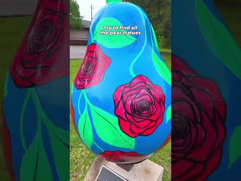
THINGS TO DO · YOUTUBE SHORT
A short Pearland day-trip montage from My Curly Adventures, including a Filipino food stop.
Watch on YouTube ↗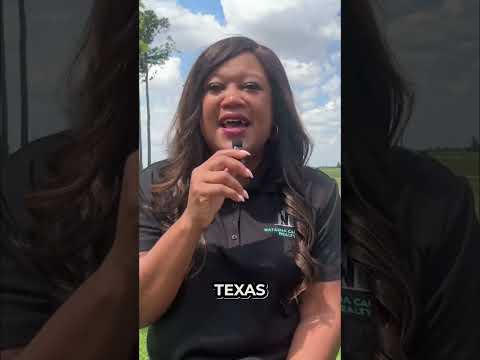
THINGS TO DO · YOUTUBE SHORT
An aerial introduction to Centennial Park, shared by Natasha Carroll Realty.
Watch on YouTube ↗Cagle Recreation Area (USDA Forest Service), about 69 miles north of Pearland as the crow flies. Next are Double Lake Recreation Area (69 mi) and Big Thicket National Preserve (84 mi).
Based on Pearland’s average highs, October–April. Conditions at higher elevations can be much cooler.
13 of the 21 places listed here take reservations on Recreation.gov; others are first come, first served.
Federal agencies including US Army Corps of Engineers, USDA Forest Service, National Park Service. Each listing links to its official page for hours, fees, closures and current conditions.